Name , shape , image

Costiera Amalfitana thanks to its numerous contacts with all Countries of Mediterranean area inherited influences materialized both through names of places and through the shape of urban centres.

Toponymy and urban models, in fact, spread to visitors the image of a territory that has achieved its concrete shape following two basic aspects: orography and history.

Names of places, between history and legend, send back to a world that is the one of the origins (toponyms concerning Tramonti rustic places date back to the territory occupation during roman epoch), of faith (there are numerous places identified with Saints’names to whom a chapel, a church or a simple edicola are dedicated), of agricultural vocation of the area and of the myth of setting. Each name has its own history worthy to discover.

Urban shape, instead, is linked to contacts and to orography; departing from hill side areas as far as downriver areas these places convey to a careful visitor a particular shape: small intersected streets which seem to bring nowhere, houses placed one on the other as a maze which distracted and stopped enemies from committing raids, the spread dislocation of rural homes in areas dedicated to agriculture.

The itinerary, departing from Atrani, crossing all municipalities of the site, allows to approach to this particular and not very published on coast guidebooks aspect.

To be able to read the landscape according to this interpretive model, it is necessary to observe it from the sea by making use of the sea connections, which, however, are in operation only in the spring and summer period. In the absence of these connections, one must visit the sites by traversing the alleys and climbing the highest points, which offer the best views, using the stepped streets.

Related Cultural Heritage
Architettura e natura

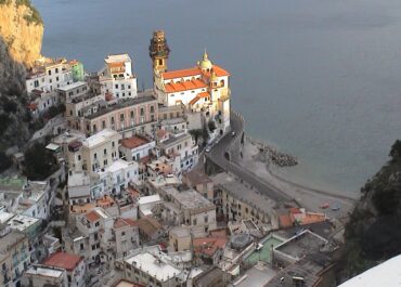
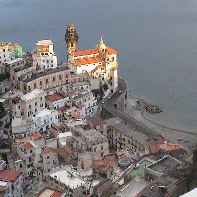
Chiesa San Eustachio

MUNICIPALITY: Scala NAME: Church of St. Eustace LOCATION: Loc. Pontone DESCRIPTION: The remains of the structures, dating back to the

Real all »

Palazzo de Saxo

MUNICIPALITY: Scala NAME: De Saxo Palace LOCATION: Location of S. Pietro DESCRIPTION: The palace, of 13th-century plan, preserves little of

Real all »
Scala

Bagni Arabi

MUNICIPALITY: Scala NAME: Arab baths. LOCATION: Loc. Pontone Locality and St. Catherine DESCRIPTION: Of these constructions belonging to dwellings of
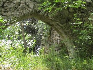
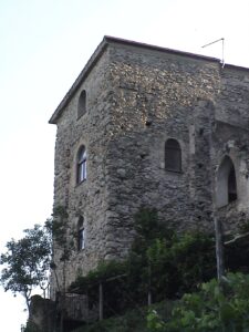
Real all »
Scala

Castrum Scalelle

MUNICIPALITY: Scala NAME: Castle of Scalelle. LOCATION: Loc. Pontone DESCRIPTION: The castle is almost totally ruined, only structures that never
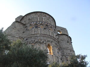
Real all »
Scala

Torre dello Ziro

MUNICIPALITY: Scala NAME: Tower of the Ziro LOCATIONON: Loc. Pontone DESCRIPTION: On the spur of rock that juts out toward

Real all »
Conca dei Marini

Chiesa San Pancrazio

MUNICIPALITY: Conca dei Marini NAME: Church of S. Pancrazio LOCATION: Loc. S. Pancrazio DESCRIPTION: The three-nave, apsidal church of S.

Real all »
Related municipalities